The Direct User Access Terminal System (DUATS), which has been providing weather services for pilots since 1989 shut down as of May 16, 2018, since the contract between FAA and CSRA has expired (part of a cost-saving measure at the FAA.)
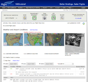
At its inception, DUATS was a state-of-the-art service, one of the first of its kind to provide digital flight planning, free FAA weather, and flight plan filing for pilots. However, other services have been developed that provide many of the same, if not more, capabilities. Pilots are encouraged to use the Leidos Pilot Web Portal at www.1800wxbrief.com for free access to weather and aeronautical information, flight plan filing, and automated services. Flight Service has seen significant advances in terms of services offered and the overall user experience, helping the government-funded flight planning service remain a primary tool for pilots.

One of the benefits of DUATS was its lightweight user interface that provided quick, easy access to its online services. However, as bandwidth increases, along with the capabilities of mobile devices, many other third-party services have become available in the form of mobile apps and electronic flight bag (EFB) services. While some of these apps previously relied on DUATS to provide some of their services, most have already transitioned to alternative sources–some with higher redundancy levels than even Leidos can provide. Pilots should check with their favorite flight planning and EFB app developer to ensure that all services function as expected. Don’t wait until the day of departure to find out that your account doesn’t work.

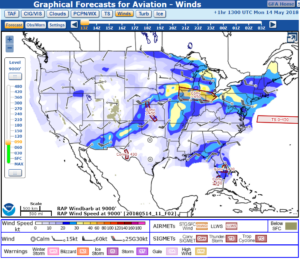
If you do not use mobile apps, don’t worry. Leidos Flight Service can still be reached via telephone at the familiar and free 1-800-WX-BRIEF phone number. In fact, calling Flight Service is the preferred method to obtain the most up to-date-information on weather and temporary flight restrictions. Another great source for free aviation weather is the Aviation Weather Center, which can be accessed at www.aviationweather.gov. This website provides fast and free access to advisories, forecasts, and observations, as well as a host of tools, such as access to the popular Graphical Forecasts for Aviation (GFA) tool.

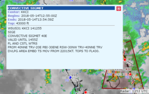
GFAs present a graphical depiction of aviation forecast data at a time frame selected by the user. The tool includes observational data, forecasts, and warnings that can be viewed from 14 hours in the past to 15 hours in the future, including thunderstorms, clouds, flight categories, precipitation, icing, turbulence, and wind. Instead of sifting through endless pages of textual weather forecasts to develop a mental picture of their environment, pilots will certainly appreciate the GFA tool to obtain a complete picture of the weather that may impact flights in the continental United States. Users can even pan and zoom in to focus on areas of interest and interact with symbols to get more information.
 For a quick snapshot of aviation weather, bookmark the Gleim Aviation Weather web page. At this page, you can get quick access to METARs, TAFs, radar, satellite, SIGMETS & AIRMETS, the latest surface analysis, low-level significant weather, prognostic charts for up to 7 days, and winds and temperature data. To learn more about aviation weather and available services, check the Gleim Aviation Weather and Weather Services book. A compilation of the latest version of the FAA’s weather publications (AC-00-6B and AC 00-45H) is available in this easy-to-understand reference book.
About Gleim Aviation
Since 1980, the Gleim Aviation team of pilots, instructors, writers, designers, and programmers has helped aviators pass millions of FAA knowledge and practical tests using the unique Gleim Knowledge Transfer System. Gleim is an environmentally-friendly company headquartered in Gainesville, FL.

