NOAA METAR Search
Enter the three or four character ICAO location indicator in the box below.
To search multiple locations, please separate each location with a comma or spaces.
This service is provided by the
NOAA Aviation Weather Center
and Gleim Publications, Inc.
Example search: KGNV, KOCF, KJAX
How to Read a TAF

TAF
KOKC 051130Z 0512/0612 14008KT 5SM BR BKN030 WS018/32030KT
TEMPO 0513/0516 1 1/2SM BR
FM051600 16010KT P6SM SKC BECMG 0522/0524 20013G20KT 4SM SHRA OVC020
PROB30 0006/0606 2SM TSRA OVC008CB=
To aid in the discussion, we have divided the TAF above into the following elements numbered 1. through 13.
| TAF |
KOKC |
051130Z |
0512/0612 |
14008KT |
5SM |
BR |
BKN030 |
WS018/32030KT |
| 1. |
2. |
3. |
4. |
5. |
6. |
7. |
8. |
9. |
| TEMPO 0513/0516 1 1/2SM BR |
FM051600 16010KT P6SM SKC |
| 10. |
11. |
| BECMG 0522/0524 20013G20KT 4SM SHRA OVC020 |
| 12. |
| PROB30 0006/0606 2SM TSRA OVC008CB= |
| 13. |
- Routine Terminal aerodrome forecast
- Oklahoma City, OK
- Forecast prepared on the 5th day at 1130 UTC (or Z)
- Forecast valid from the 5th day at 1200 UTC until 1200 UTC on the 6th
- Width 140° true at 8 kt.
- Visibility 5 SM
- Visibility obscured by mist
- Ceiling 3,000 ft. broken
- Low-level wind shear at 1,800 ft., wind 320° true at 30 kt.
- Temporary (spoken as occasional) visibility 1 1/2 SM in mist between 1300 UTC and 1600 UTC on the 5th day
- From (or after) 1600 UTC on the 5th day, wind 160° true at 10 kt., visibility more than 6 SM. sky clear
- Becoming (gradual change) wind 200° true at 13 kt., gusts to 20 kt., visibility 4 SM in moderate rain showers, ceiling 2,000 ft. overcast between 2200 UTC and 2400 UTC on the 5th day
- Probability (30% chance) between 0000 UTC and 0600 UTC on the 6th day of visibility 2 SM, thunderstorm, moderate rain, ceiling 800 ft. overcast, cumulonimbus clouds (the = sign indicates end of forecast)NOTE: PROB30 is the only probability notation used in NWS TAFs. Military and international TAFs may feature PROB40 notation, which indicates a 40% probability of the referenced conditions occurring.
How to Read a METAR

METAR KGNV 201953Z 24015KT 3/4SM R28/2400FT +TSRA BKN008 OVC015CB 26/25 A2985 RMK TSB32RAB32
To aid in the discussion, we have divided the report into 12 elements:
| METAR |
KGNV |
201953Z |
|
24015KT |
3/4SM |
R28/2400FT |
+TSRA |
| 1. |
2. |
3. |
4. |
5. |
6. |
7. |
8. |
| BKN008 OVC015CB |
26/25 |
A2985 |
RMK TSB32RAB32 |
| 9. |
10. |
11. |
12. |
- Aviation routine weather report
- Gainesville, FL
- Observation taken of the 20th day at 1953 UTC (or Zulu)
- Modifier omitted; i.e., not required for this report
- Wind 240° true at 15kt.
- Visibility 3/4 SM
- Runway 28, runway visual range 2,400 ft.
- Thunderstorm with heavy rain
- Ceiling 800 ft. broken, 1,500 ft. overcast, cumulonimbus clouds
- Temperature 26°C, dew point 25°C
- Altimeter 29.85
- Remarks: Thunderstorm began at 32 min. past the hour; rain began at 32 min. past the hour.
Contiguous US Radar

Contiguous US Satellite

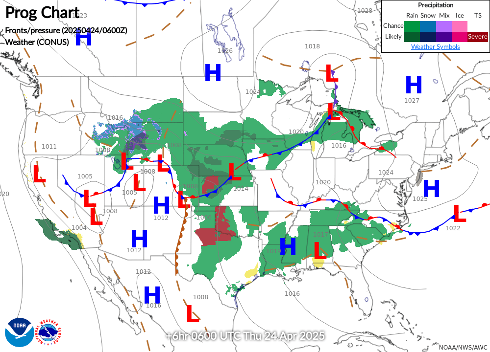
Latest Surface Analysis
Wind and Temperature Data
Mouse over to view coverage area. Click to view text.
Study Aviation Weather and Weather Services

Disclaimer: The page is intended as a tool to help pilots better visualize weather and weather-related hazards. It is not intended as a substitute for an official weather briefing. The information contained here does not meet the FAA requirements for a preflight weather brief. Pilots must obtain a complete briefing from an official source, such as Leidos Flight Service (1-800-WXBRIEF)